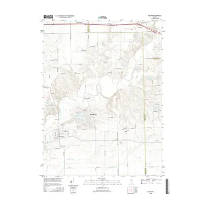
2015 Map of Mackinaw
USGS Topo · Published 2015About this map
Mackinaw sits at the heart of this central Illinois landscape where the Mackinaw River and the Little Mackinaw River converge. The topography is defined by the winding course of these waterways and their tributaries, including Alloway Cr and Mud Cr, which carve through the terrain between the settlements of Deer Creek and Goodfield to the north and the village of Lilly to the east. The 2015 survey shows a rural environment punctuated by newer residential developments, most notably around the large reservoir of Heritage Lake and smaller bodies of water like Maraldo Lake and Posey Ridge Lakes.
Find a feature on this map
116 named features on this map. Tap any name to fly to it.
Don’t see what you’re looking for? This feature index may not catch every label — zoom into the map to look around manually.
Map Details
Editions of this 2015 Mackinaw Map
This is the sole edition of this map. No revisions or reprints were ever made.
Other maps of this area

1927 · Danvers
USGS Topo · 1:62,500

1928 · Mackinaw
USGS Topo · 1:62,500

1930 · Danvers
USGS Topo · 1:62,500

1932 · Mackinaw
USGS Topo · 1:62,500

1949 · Mc Lean
USGS Topo · 1:62,500

1951 · McLean
USGS Topo · 1:62,500

1951 · Minier
USGS Topo · 1:62,500

1958 · Peoria
USGS Topo · 1:250,000

1961 · Peoria
USGS Topo · 1:250,000

1963 · Peoria
USGS Topo · 1:250,000