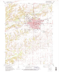
1974 Map of Macomb
USGS Topo · Published 1986About this map
Macomb serves as the focal point of this west-central Illinois landscape, where the expansive campus of Western Illinois University sits at the city's northwest edge. The urban grid is dense with civic infrastructure, featuring a central Courthouse, City Hall, and the District Hospital nestled among residential streets like Jackson St and Calhoun St. The local economy of the mid-1970s is evidenced by the Burlington Northern railroad corridors and active Claypits to the north, suggesting the area's industrial ties to the land.
Find a feature on this map
67 named features on this map. Tap any name to fly to it.
Don’t see what you’re looking for? This feature index may not catch every label — zoom into the map to look around manually.
Map Details
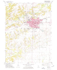
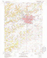
Editions of this 1974 Macomb Map
3 editions found
Other maps of this area

1912 · Macomb
USGS Topo · 1:62,500

1913 · Colchester
USGS Topo · 1:62,500

1914 · Macomb
USGS Topo · 1:62,500

1916 · Good Hope
USGS Topo · 1:62,500

1918 · La Harpe
USGS Topo · 1:62,500

1918 · Good Hope
USGS Topo · 1:62,500

1958 · Burlington
USGS Topo · 1:250,000

1961 · Burlington
USGS Topo · 1:250,000

1963 · Burlington
USGS Topo · 1:250,000
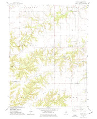
1974 · Doddsville
USGS Topo · 1:24,000