
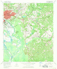
1956 Map of Macon East
USGS Topo · Published 1958About this map
Ancient earthworks and mid-century industrial growth converge where the Ocmulgee River winds through the heart of this region. The presence of Lamar Mounds and an Indian Mound within the Ocmulgee National Monument anchors the landscape to its deep Indigenous history, while the ruins of Ft Hawkins overlook the expansion of Macon. To the east, the terrain shifts from suburban clusters like Cross Keys and Lanier Heights to an extractive landscape marked by numerous Strip Mine operations and Brick Kilns along the river banks.
Find a feature on this map
70 named features on this map. Tap any name to fly to it.
Don’t see what you’re looking for? This feature index may not catch every label — zoom into the map to look around manually.
Map Details
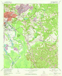
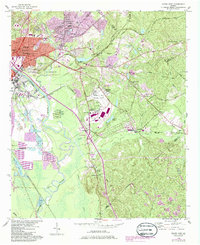
Editions of this 1956 Macon East Map
4 editions found
Other maps of this area

1956 · Gordon
USGS Topo · 1:62,500

1956 · Warner Robins
USGS Topo · 1:62,500

1956 · Jeffersonville
USGS Topo · 1:62,500

1956 · Macon West
USGS Topo · 1:24,000

1956 · Macon
USGS Topo · 1:62,500

1957 · Macon
USGS Topo · 1:250,000

1958 · Macon
USGS Topo · 1:250,000

1964 · Macon
USGS Topo · 1:250,000
1973 · Macon NE
USGS Topo · 1:24,000

1973 · Warner Robins NE
USGS Topo · 1:24,000