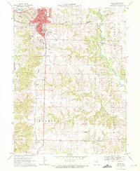
1971 Map of Macon
USGS Topo · Published 1972About this map
Macon serves as the focal point of this 1971 survey, showing a well-established county seat defined by its dual-railway heritage. The intersection of the Burlington Northern and Norfolk and Western tracks underscores the town's historical importance as a transit hub, while the surrounding landscape reveals the industrial and civic infrastructure of the era, from the Macon Power Memorial Airport to the Strip Mine operations further south near Excello. Community landmarks are particularly well-documented, including the central Courthouse, the Fairground, and several significant local burial grounds such as Oakwood Cem and East Woodlawn Cem. The terrain transitions from the developed streets of Hudson to the winding course of the Middle Fork Salt River, with rural life anchored by institutions like Chapel Hill Ch and Friendship Ch.
Find a feature on this map
56 named features on this map. Tap any name to fly to it.
Don’t see what you’re looking for? This feature index may not catch every label — zoom into the map to look around manually.
Map Details
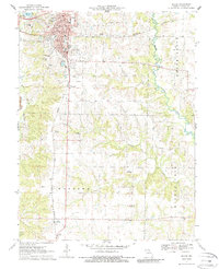
Editions of this 1971 Macon Map
2 editions found
Other maps of this area

1908 · Atlanta
USGS Topo · 1:62,500

1908 · Macon
USGS Topo · 1:62,500

1910 · Macon
USGS Topo · 1:62,500

1937 · Elmer
USGS Topo · 1:48,000

1942 · Elmer
USGS Topo · 1:62,500

1953 · Moberly
USGS Topo · 1:250,000

1953 · Bevier South
USGS Topo · 1:24,000

1953 · College Mound
USGS Topo · 1:24,000

1954 · Moberly
USGS Topo · 1:250,000

1957 · Moberly
USGS Topo · 1:250,000