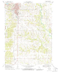
1971 Map of Macon
USGS Topo · Published 1986About this map
Macon serves as the focal point of this 1971 survey, showing a detailed street grid including Main St and Seventh St as it appeared before modern suburban expansion. The town's significance as a regional hub is evident in its concentration of public infrastructure, from the Courthouse and Hospital to the Fairground and Macon Lake. To the south, the village of Excello sits along the Norfolk and Western line, illustrating the rail-oriented settlement patterns of northern Missouri. The rural landscape between these hubs is defined by the Narrows and the meandering Middle Fork Salt River. Genealogists will find notable value in the clearly marked cemeteries, such as Oakwood Cem and St Marys Cem, alongside rural landmarks like Chapel Hill Ch and Friendship Ch which anchor the surrounding farmsteads.
Find a feature on this map
48 named features on this map. Tap any name to fly to it.
Don’t see what you’re looking for? This feature index may not catch every label — zoom into the map to look around manually.
Map Details
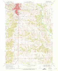
Editions of this 1971 Macon Map
2 editions found
Other maps of this area

1908 · Atlanta
USGS Topo · 1:62,500

1908 · Macon
USGS Topo · 1:62,500

1910 · Macon
USGS Topo · 1:62,500

1937 · Elmer
USGS Topo · 1:48,000

1942 · Elmer
USGS Topo · 1:62,500

1953 · Moberly
USGS Topo · 1:250,000

1953 · Bevier South
USGS Topo · 1:24,000

1953 · College Mound
USGS Topo · 1:24,000

1954 · Moberly
USGS Topo · 1:250,000

1957 · Moberly
USGS Topo · 1:250,000