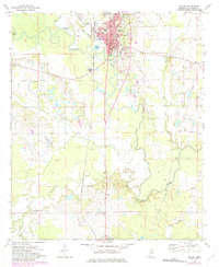
1973 Map of Macon
USGS Topo · Published 1982About this map
The Noxubee River winds sharply through the center of this Mississippi landscape, anchoring the city of Macon and the surrounding agricultural bottomlands. In the early 1970s, the community remains defined by its institutional core, featuring the Courthouse, City Hall, and several educational landmarks such as Central Academy and the High Sch. The rural areas to the south and west are dotted with small congregation centers and family burial grounds, including Macedonia and the Ivy Grove Ch Cem.
Find a feature on this map
38 named features on this map. Tap any name to fly to it.
Don’t see what you’re looking for? This feature index may not catch every label — zoom into the map to look around manually.
Map Details
Editions of this 1973 Macon Map
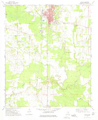
2 editions found
Other maps of this area

1953 · Meridian
USGS Topo · 1:250,000

1953 · West Point
USGS Topo · 1:250,000

1957 · Meridian
USGS Topo · 1:250,000

1958 · West Point
USGS Topo · 1:250,000

1962 · Shuqualak
USGS Topo · 1:24,000

1963 · West Point
USGS Topo · 1:250,000

1963 · Gholson
USGS Topo · 1:24,000

1965 · Meridian
USGS Topo · 1:250,000

1973 · Cliftonville
USGS Topo · 1:24,000

1973 · McLeod
USGS Topo · 1:24,000