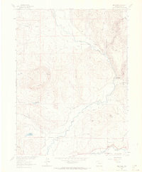
1962 Map of Mad Creek
USGS Topo · Published 1970About this map
The Elk River and Yampa River define the drainage of this Routt County landscape as it appeared in the early 1960s. The convergence of these waterways, along with the Denver and Rio Grande Western railroad line following the Yampa, highlights the region's transport and agricultural foundation. Irrigation infrastructure like the Keller Ditch and Wither Ditch supports the lower elevations, while the higher ground is dominated by prominent landmarks such as The Sleeping Giant and Elk Mountain. Settled pockets like Mystic contrast with the protected lands of the Routt National Forest that border the eastern reaches. The map captures a transition from managed valley floors to high-country wilderness, recording localized features like the Trull Creek Reservoir No 1 and scattered Storage Bins that reveal the era's land-use patterns.
Find a feature on this map
32 named features on this map. Tap any name to fly to it.
Don’t see what you’re looking for? This feature index may not catch every label — zoom into the map to look around manually.
Map Details
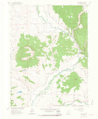
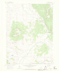
Editions of this 1962 Mad Creek Map
3 editions found
Other maps of this area

1911 · Hahns Peak
USGS Topo · 1:125,000

1913 · Hahns Peak
USGS Topo · 1:125,000

1923 · Pilot Knob
USGS Topo · 1:62,500

1924 · Mt. Harris
USGS Topo · 1:48,000

1925 · Pilot Knob
USGS Topo · 1:62,500

1926 · Mount Harris
USGS Topo · 1:62,500

1954 · Craig
USGS Topo · 1:250,000

1957 · Craig
USGS Topo · 1:250,000

1958 · Craig
USGS Topo · 1:250,000

1960 · Craig
USGS Topo · 1:250,000