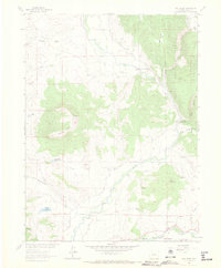
1962 Map of Mad Creek
USGS Topo · Published 1970About this map
The Elk River winds through this Colorado landscape, creating a fertile valley surrounded by distinctive peaks like Elk Mountain and the ridge known as The Sleeping Giant. In the early 1960s, the area maintained a rural character defined by small watercourses such as Trull Creek and Salt Creek, with localized infrastructure like Trull Creek Reservoir No 1. The presence of the Elk Mountain Cem and the small settlement of Mystic point to the early homesteading and ranching history of the region.
Find a feature on this map
28 named features on this map. Tap any name to fly to it.
Don’t see what you’re looking for? This feature index may not catch every label — zoom into the map to look around manually.
Map Details
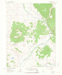
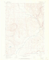
Editions of this 1962 Mad Creek Map
3 editions found
Other maps of this area

1911 · Hahns Peak
USGS Topo · 1:125,000

1913 · Hahns Peak
USGS Topo · 1:125,000

1923 · Pilot Knob
USGS Topo · 1:62,500

1924 · Mt. Harris
USGS Topo · 1:48,000

1925 · Pilot Knob
USGS Topo · 1:62,500

1926 · Mount Harris
USGS Topo · 1:62,500

1954 · Craig
USGS Topo · 1:250,000

1957 · Craig
USGS Topo · 1:250,000

1958 · Craig
USGS Topo · 1:250,000

1960 · Craig
USGS Topo · 1:250,000