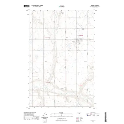
2020 Map of Maddock
USGS Topo · Published 2020About this map
Maddock serves as the primary hub of this North Dakota landscape, situated within a grid of section lines and rural roadways. The town is flanked by essential community infrastructure, including the Maddock Municipal Airport to the north and Rices Airpark to the west. Local genealogy is well-documented through three distinct burial grounds: North Viking Cem, Zion Cem, and Eron Cem, each marking different corners of the local settlement history.
Find a feature on this map
37 named features on this map. Tap any name to fly to it.
Don’t see what you’re looking for? This feature index may not catch every label — zoom into the map to look around manually.
Map Details
Editions of this 2020 Maddock Map
This is the sole edition of this map. No revisions or reprints were ever made.
Other maps of this area

1932 · Flora
USGS Topo · 1:62,500

1943 · Maddock
USGS Topo · 1:62,500

1945 · Maddock
USGS Topo · 1:62,500

1951 · Black Hammer Hill
USGS Topo · 1:24,000

1951 · Flora
USGS Topo · 1:24,000

1951 · Maddock
USGS Topo · 1:24,000
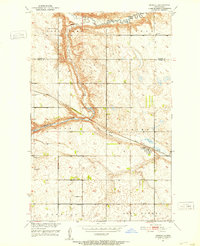
1951 · Heimdal
USGS Topo · 1:24,000

1951 · Hesper
USGS Topo · 1:24,000
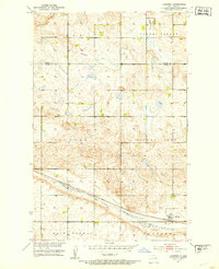
1951 · Hamberg
USGS Topo · 1:24,000

1951 · Flora
USGS Topo · 1:62,500