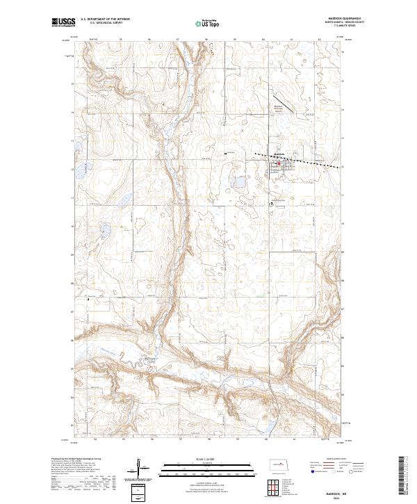
2024 Map of Maddock
USGS Topo · Published 2024About this map
Maddock serves as the central hub of this Benson County landscape, where the grid of the town site meets the expansive agricultural terrain of North Dakota. The area's settlement history is preserved through several community landmarks, including Zion Cem to the west and North Viking Cem just south of the town's residential streets. To the southwest, Fron Cem sits along Green Rd, marking an older rural congregational site away from the main village center.
Find a feature on this map
28 named features on this map. Tap any name to fly to it.
Don’t see what you’re looking for? This feature index may not catch every label — zoom into the map to look around manually.
Map Details
Editions of this 2024 Maddock Map
This is the sole edition of this map. No revisions or reprints were ever made.
Other maps of this area

1932 · Flora
USGS Topo · 1:62,500

1943 · Maddock
USGS Topo · 1:62,500

1945 · Maddock
USGS Topo · 1:62,500

1951 · Black Hammer Hill
USGS Topo · 1:24,000

1951 · Flora
USGS Topo · 1:24,000

1951 · Maddock
USGS Topo · 1:24,000
1951 · Heimdal
USGS Topo · 1:24,000

1951 · Hesper
USGS Topo · 1:24,000
1951 · Hamberg
USGS Topo · 1:24,000

1951 · Flora
USGS Topo · 1:62,500