Loading...
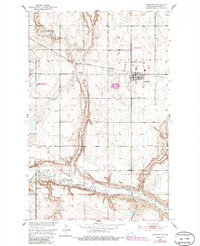
Loading map...1951 Map of Maddock
USGS Topo · Published 1986About this map
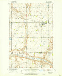
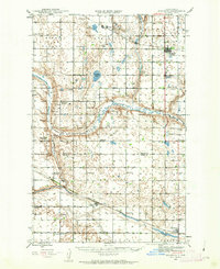
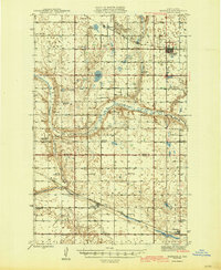
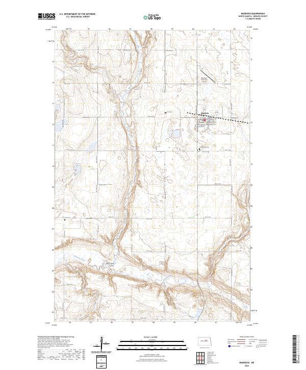
Maddock serves as the primary hub of this Benson County landscape, situated where the Burlington Northern railroad cuts through the prairie. The town's layout is meticulously detailed, including the Municipal Airport and the National Waterfowl Production Area to the west. The terrain is defined by the significant winding path of the Sheyenne River in the south and the prominent north-south depression of the Big Coulee which dominates the central portion of the map.
Find a feature on this map
15 named features on this map. Tap any name to fly to it.
Don’t see what you’re looking for? This feature index may not catch every label — zoom into the map to look around manually.
Map Details
Date Portrayed1951
Date Published1986
PublisherU.S. Geological Survey
Map TypeTopographic
Scale1:24,000
Physical Dimensions22 x 27 inches
Editions of this 1951 Maddock Map
2 editions found
Historical Maps of Maddock Through Time
8 maps found

Featured Locations
Source Details
SourceU.S. Geological Survey
CopyrightPublic Domain