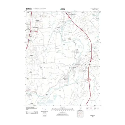
2010 Map of Madeira
USGS Topo · Published 2010About this map
The Little Miami River corridor defines this suburban and semi-rural landscape east of Cincinnati. The river winds through a series of communities, including Madeira, Milford, and Terrace Park, while Sycamore Creek and its branches drain the western reaches near Montgomery and Blue Ash. This area is notable for its concentration of recreational and institutional grounds, featuring several large encampments such as Camp Livingston, Camp Friedlander, and Camp Dennison.
Find a feature on this map
128 named features on this map. Tap any name to fly to it.
Don’t see what you’re looking for? This feature index may not catch every label — zoom into the map to look around manually.
Map Details
Editions of this 2010 Madeira Map
This is the sole edition of this map. No revisions or reprints were ever made.
Other maps of this area

1898 · East Cincinnati
USGS Topo · 1:62,500

1904 · Mason
USGS Topo · 1:62,500

1906 · Mason
USGS Topo · 1:62,500

1914 · East Cincinnati
USGS Topo · 1:62,500

1914 · Batavia
USGS Topo · 1:48,000

1914 · Morrow
USGS Topo · 1:62,500

1916 · Batavia
USGS Topo · 1:62,500

1916 · Morrow
USGS Topo · 1:62,500

1952 · Newport
USGS Topo · 1:24,000

1953 · Withamsville
USGS Topo · 1:24,000