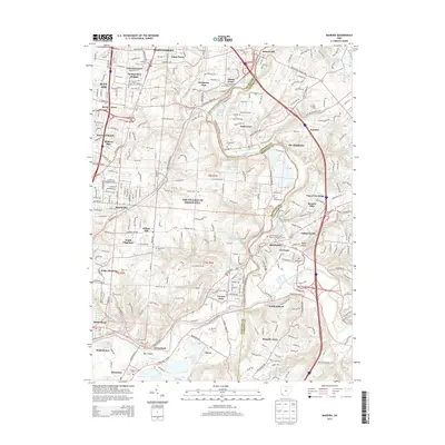
2013 Map of Madeira
USGS Topo · Published 2013About this map
The Little Miami River and the East Fork Little Miami River converge in this densely settled corridor of Hamilton and Clermont counties. The suburban character of the early 21st century is evident in the transition from established neighborhoods like Madeira and Milford to the expansive wooded residential tracts of The Village of Indian Hill. Smaller enclaves such as Terrace Park and Mariemont preserve a distinct local identity amidst the growth of the Cincinnati metropolitan area.
Find a feature on this map
289 named features on this map. Tap any name to fly to it.
Don’t see what you’re looking for? This feature index may not catch every label — zoom into the map to look around manually.
Map Details
Editions of this 2013 Madeira Map
This is the sole edition of this map. No revisions or reprints were ever made.
Other maps of this area

1898 · East Cincinnati
USGS Topo · 1:62,500

1904 · Mason
USGS Topo · 1:62,500

1906 · Mason
USGS Topo · 1:62,500

1914 · East Cincinnati
USGS Topo · 1:62,500

1914 · Batavia
USGS Topo · 1:48,000

1914 · Morrow
USGS Topo · 1:62,500

1916 · Batavia
USGS Topo · 1:62,500

1916 · Morrow
USGS Topo · 1:62,500

1952 · Newport
USGS Topo · 1:24,000

1953 · Withamsville
USGS Topo · 1:24,000