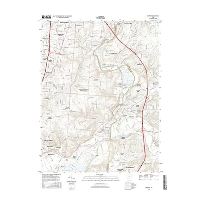
2016 Map of Madeira
USGS Topo · Published 2016About this map
Little Miami River flows through this suburban landscape, carving a valley that separates established residential communities from newer developments. The presence of numerous historic burial grounds, including Camp Dennison Cem and Martins Cem, offers a map for genealogical research in this portion of Hamilton County. The layout of The Village of Indian Hill demonstrates a distinct pattern of large estates and winding forest drives, contrasting with the more compact grids of Madeira and Milford.
Find a feature on this map
187 named features on this map. Tap any name to fly to it.
Don’t see what you’re looking for? This feature index may not catch every label — zoom into the map to look around manually.
Map Details
Editions of this 2016 Madeira Map
This is the sole edition of this map. No revisions or reprints were ever made.
Other maps of this area

1898 · East Cincinnati
USGS Topo · 1:62,500

1904 · Mason
USGS Topo · 1:62,500

1906 · Mason
USGS Topo · 1:62,500

1914 · East Cincinnati
USGS Topo · 1:62,500

1914 · Batavia
USGS Topo · 1:48,000

1914 · Morrow
USGS Topo · 1:62,500

1916 · Batavia
USGS Topo · 1:62,500

1916 · Morrow
USGS Topo · 1:62,500

1952 · Newport
USGS Topo · 1:24,000

1953 · Withamsville
USGS Topo · 1:24,000