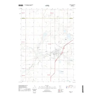
2019 Map of Madelia
USGS Topo · Published 2019About this map
Madelia sits as the central hub of this agricultural landscape in Watonwan County, where the Watonwan River and its tributary Spring Brook carve through the prairie. The town's layout is defined by its core streets, including W Main St and several sectors of residential avenues, while the surrounding countryside is organized by the rigid grid of the Public Land Survey System. Several community burial grounds, such as Riverside Cem, Madelia Cem, and Calvary Cem, are situated near the town site, providing significant points of interest for genealogical research.
Find a feature on this map
56 named features on this map. Tap any name to fly to it.
Don’t see what you’re looking for? This feature index may not catch every label — zoom into the map to look around manually.
Map Details
Editions of this 2019 Madelia Map
This is the sole edition of this map. No revisions or reprints were ever made.
Other maps of this area

1953 · New Ulm
USGS Topo · 1:250,000

1954 · Fairmont
USGS Topo · 1:250,000

1957 · New Ulm
USGS Topo · 1:250,000

1958 · New Ulm
USGS Topo · 1:250,000

1958 · Fairmont
USGS Topo · 1:250,000

1965 · Madelia
USGS Topo · 1:24,000

1965 · Hanska
USGS Topo · 1:24,000

1965 · Perth
USGS Topo · 1:24,000

1965 · Cambria
USGS Topo · 1:24,000

1967 · New Ulm
USGS Topo · 1:250,000