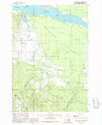
1986 Map of Madison Arm
USGS Topo · Published 1986About this map
Hebgen Lake and its prominent Madison Arm dominate the high-altitude topography of this Montana-Idaho border region during the mid-1980s. The landscape is defined by the convergence of the Gallatin National Forest and Targhee National Forest, split by the Continental Divide as it winds through Gallatin and Fremont Counties. The map records the hydraulic complex of the South Fork Madison River and the sweeping Madison Valley, where the terrain transitions from the water's edge to the mountain crests.
Find a feature on this map
25 named features on this map. Tap any name to fly to it.
Don’t see what you’re looking for? This feature index may not catch every label — zoom into the map to look around manually.
Map Details
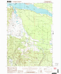
Editions of this 1986 Madison Arm Map
2 editions found
Other maps of this area

1950 · Hebgen Dam
USGS Topo · 1:62,500

1955 · Ashton
USGS Topo · 1:250,000

1958 · Ashton
USGS Topo · 1:250,000

1958 · West Yellowstone
USGS Topo · 1:62,500
1958 · Tepee Creek
USGS Topo · 1:62,500

1960 · Ashton
USGS Topo · 1:250,000

1964 · Targhee Pass
USGS Topo · 1:24,000

1964 · Big Springs
USGS Topo · 1:24,000

1964 · Henrys Lake
USGS Topo · 1:62,500
1986 · Jack Straw Basin
USGS Topo · 1:24,000
Featured Places
- Railroad Summer Home Area, MT
- Lonesome Hurst Summer Home Area, MT
- Romsett Summer Home Area, MT
- Lakeshore Summer Home Area, MT
- Corette, MT