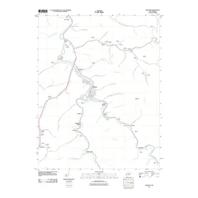
2011 Map of Madison
USGS Topo · Published 2011About this map
The confluence of Little Coal River and Pond Fork serves as the geographic anchor for this West Virginia landscape, where the neighboring towns of Madison and Danville dominate the central valley. This area exhibits a classic Appalachian settlement pattern, with residences and infrastructure tightly concentrated along the watercourses and narrow bottomlands. Away from the valley floor, the terrain rises sharply toward landmarks like Workman Knob, while the hollows are dotted with small communities and family-named landmarks.
Find a feature on this map
97 named features on this map. Tap any name to fly to it.
Don’t see what you’re looking for? This feature index may not catch every label — zoom into the map to look around manually.
Map Details
Editions of this 2011 Madison Map
This is the sole edition of this map. No revisions or reprints were ever made.
Other maps of this area

1891 · Oceana
USGS Topo · 1:125,000

1893 · Oceana
USGS Topo · 1:125,000

1898 · Oceana
USGS Topo · 1:125,000

1899 · Charleston
USGS Topo · 1:125,000

1909 · Peytona
USGS Topo · 1:48,000

1910 · Bald Knob
USGS Topo · 1:48,000

1911 · Peytona
USGS Topo · 1:62,500

1911 · Madison
USGS Topo · 1:62,500

1912 · Bald Knob
USGS Topo · 1:62,500

1913 · Logan
USGS Topo · 1:62,500