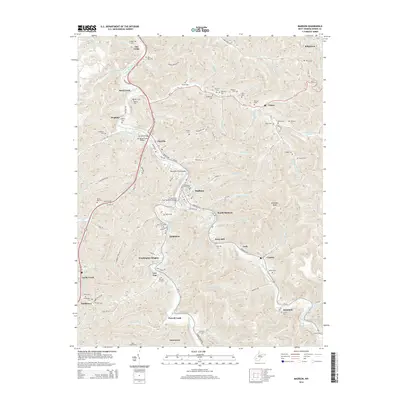
2014 Map of Madison
USGS Topo · Published 2014About this map
Madison and the Little Coal River valley are the central focus of this Boone County survey, where the river's winding course dictates the development of local infrastructure and commerce. The geography of the region is defined by deep hollows and high points like Workman Knob, with the CSX rail line tracing the water's edge through Danville and South Madison. The importance of river crossings is highlighted by named spans including the Danville Bridge Jill Micaah Hess Bridge, the Benjamin Price Bridge, and the LT Darwin K Kyle Memorial Bridge near the heart of town.
Find a feature on this map
133 named features on this map. Tap any name to fly to it.
Don’t see what you’re looking for? This feature index may not catch every label — zoom into the map to look around manually.
Map Details
Editions of this 2014 Madison Map
This is the sole edition of this map. No revisions or reprints were ever made.
Other maps of this area

1891 · Oceana
USGS Topo · 1:125,000

1893 · Oceana
USGS Topo · 1:125,000

1898 · Oceana
USGS Topo · 1:125,000

1899 · Charleston
USGS Topo · 1:125,000

1909 · Peytona
USGS Topo · 1:48,000

1910 · Bald Knob
USGS Topo · 1:48,000

1911 · Peytona
USGS Topo · 1:62,500

1911 · Madison
USGS Topo · 1:62,500

1912 · Bald Knob
USGS Topo · 1:62,500

1913 · Logan
USGS Topo · 1:62,500