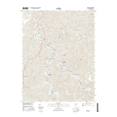
2016 Map of Madison
USGS Topo · Published 2016About this map
The Little Coal River and its major forks define the settlement patterns of central Boone County, where the towns of Madison and Danville serve as a primary hub. The landscape is characterized by narrow valleys and steep ridges, such as Workman Knob, with communities like South Madison and Washington Heights following the winding course of Spruce Fork. This 2016 survey illustrates the modern transportation network, including the Benjamin Price Bridge and the LT Darwin K Kyle Memorial Bridge, which facilitate travel across the river system. Genealogists will find a high density of family burial grounds scattered throughout the hollows, including the Vandelinde Cem, Riley Hill Cem, and Gomez Cem. These small cemeteries, along with larger sites like Memory Gardens and Boone Memorial Park, document the long-standing family lineages in coal country settlements like Ridgeview, Uneeda, and Quinland.
Find a feature on this map
133 named features on this map. Tap any name to fly to it.
Don’t see what you’re looking for? This feature index may not catch every label — zoom into the map to look around manually.
Map Details
Editions of this 2016 Madison Map
This is the sole edition of this map. No revisions or reprints were ever made.
Other maps of this area

1891 · Oceana
USGS Topo · 1:125,000

1893 · Oceana
USGS Topo · 1:125,000

1898 · Oceana
USGS Topo · 1:125,000

1899 · Charleston
USGS Topo · 1:125,000

1909 · Peytona
USGS Topo · 1:48,000

1910 · Bald Knob
USGS Topo · 1:48,000

1911 · Peytona
USGS Topo · 1:62,500

1911 · Madison
USGS Topo · 1:62,500

1912 · Bald Knob
USGS Topo · 1:62,500

1913 · Logan
USGS Topo · 1:62,500