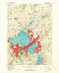
1959 Map of Madison
USGS Topo · Published 1965About this map
Lake Mendota, Lake Monona, and Lake Waubesa define the geography of the Madison region at the end of the 1950s. The state capital's urban core is densely settled around the State Capitol and the University of Wisconsin Arboretum, while the surrounding rural townships of Vienna, Windsor, and Burke remain largely agricultural. The transportation network is anchored by the Chicago and North Western and Chicago Milwaukee St Paul and Pacific railroads, which connect smaller outlying settlements like Waunakee and McFarland. Notable institutions such as the Mendota State Hospital and the Academy of St Benedict occupy prominent positions along the lakeshores. The landscape is also dotted with numerous rural educational sites including Vincent Sch, Wilcox Sch, and Schenk Sch, documenting the distribution of community life before further suburban expansion reshaped Dane County.
Find a feature on this map
89 named features on this map. Tap any name to fly to it.
Don’t see what you’re looking for? This feature index may not catch every label — zoom into the map to look around manually.
Map Details
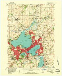
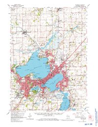
Editions of this 1959 Madison Map
3 editions found
Other maps of this area

1889 · Evansville
USGS Topo · 1:62,500

1890 · Madison
USGS Topo · 1:62,500

1890 · Sun Prairie
USGS Topo · 1:62,500

1890 · Stoughton
USGS Topo · 1:62,500

1892 · Madison
USGS Topo · 1:62,500

1894 · Evansville
USGS Topo · 1:62,500

1895 · Baraboo
USGS Topo · 1:62,500

1896 · Sun Prairie
USGS Topo · 1:62,500

1901 · Poynette
USGS Topo · 1:62,500

1904 · Madison
USGS Topo · 1:62,500