
1959 Map of Madison
USGS Topo · Published 1980About this map
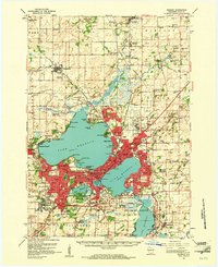
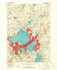
Lake Mendota and Lake Monona define the landscape of this 1959 survey, where the state capital is surrounded by a complex system of waterways and educational institutions. The University of Wisconsin campus occupies a prominent position on the southern shore of Lake Mendota, while the Arboretum and Forest Hill Cemetery represent significant preserved spaces within the growing city. To the northeast, Truax Field and the Mendota State Hospital signal the military and institutional presence that shaped the region’s mid-century development.
Find a feature on this map
96 named features on this map. Tap any name to fly to it.
Don’t see what you’re looking for? This feature index may not catch every label — zoom into the map to look around manually.
Map Details
Editions of this 1959 Madison Map
3 editions found
Other maps of this area

1889 · Evansville
USGS Topo · 1:62,500

1890 · Madison
USGS Topo · 1:62,500

1890 · Sun Prairie
USGS Topo · 1:62,500

1890 · Stoughton
USGS Topo · 1:62,500

1892 · Madison
USGS Topo · 1:62,500

1894 · Evansville
USGS Topo · 1:62,500

1895 · Baraboo
USGS Topo · 1:62,500

1896 · Sun Prairie
USGS Topo · 1:62,500

1901 · Poynette
USGS Topo · 1:62,500

1904 · Madison
USGS Topo · 1:62,500