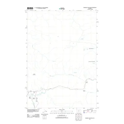
2012 Map of Madison Junction
USGS Topo · Published 2012About this map
Madison Junction marks the convergence of the Gibbon River and the Firehole River, forming the headwaters of the Madison River. This landscape is defined by its hydrothermal activity and dramatic topography, featuring prominent landmarks like Purple Mountain and National Park Mountain rising above the river basins. Thermal features are documented throughout the terrain, from the Jet Geyser in the central flats to the concentrated activity within Monument Geyser Basin and the Secret Valley Hot Springs. The map illustrates the road network as it follows the natural contours of the river valleys, passing notable water features such as Gibbon Falls and Firehole Falls. These natural corridors have historically dictated movement through the region, connecting meadows like Gibbon Meadows with the steep terrain of Gibbon Canyon.
Find a feature on this map
24 named features on this map. Tap any name to fly to it.
Don’t see what you’re looking for? This feature index may not catch every label — zoom into the map to look around manually.
Map Details
Editions of this 2012 Madison Junction Map
This is the sole edition of this map. No revisions or reprints were ever made.
Other maps of this area

1885 · Gallatin
USGS Topo · 1:125,000

1885 · Gallatin
USGS Topo · 1:125,000

1901 · Gallatin
USGS Topo · 1:125,000

1908 · Gallatin
USGS Topo · 1:125,000

1911 · Gallatin
USGS Topo · 1:125,000

1955 · Ashton
USGS Topo · 1:250,000

1958 · Ashton
USGS Topo · 1:250,000

1958 · Madison Junction
USGS Topo · 1:62,500

1958 · Mount Holmes
USGS Topo · 1:62,500
1958 · Norris Junction
USGS Topo · 1:62,500