
1958 Map of Mount Holmes
USGS Topo · Published 1959About this map
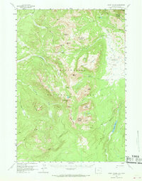
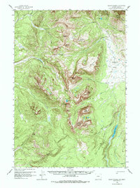
Mount Holmes stands as a central topographic anchor in this high-altitude corner of Yellowstone National Park, where the headwaters of several major drainages converge. The 1958 landscape is defined by its network of backcountry routes, including the Bighorn Trail and Fawn Pass Trail, which connect isolated stations like the Patrol Cabin to the broader wilderness. This survey reveals a complex hydrological system where the Gallatin River and Gardner River begin their descent, carving through prominent features like Crowfoot Ridge and the broad basin of Gardners Hole.
Find a feature on this map
47 named features on this map. Tap any name to fly to it.
Don’t see what you’re looking for? This feature index may not catch every label — zoom into the map to look around manually.
Map Details
Editions of this 1958 Mount Holmes Map
3 editions found
Other maps of this area

1885 · Gallatin
USGS Topo · 1:125,000

1885 · Gallatin
USGS Topo · 1:125,000

1888 · Three Forks
USGS Topo · 1:250,000

1891 · Livingston
USGS Topo · 1:250,000

1893 · Livingston
USGS Topo · 1:250,000

1894 · Three Forks
USGS Topo · 1:250,000

1895 · Three Forks
USGS Topo · 1:250,000

1901 · Gallatin
USGS Topo · 1:125,000

1908 · Gallatin
USGS Topo · 1:125,000

1911 · Gallatin
USGS Topo · 1:125,000