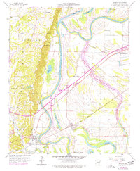
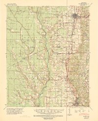
1960 Map of Madison
USGS Topo · Published 1977About this map
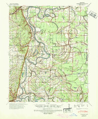
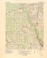
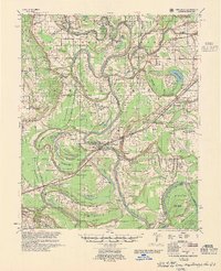
Crowleys Ridge dominates the western portion of this St. Francis County landscape, providing a sharp elevation contrast to the low-lying wetlands of the St Francis River basin. This topographic divide defines the local settlement patterns, with historic communities like Newcastle and Madison positioned near the ridge's edge or along the river's winding course. The 1960 survey, updated with 1976 aerial revisions, captures a network of rural life and transit, anchored by the Chicago Rock Island and Pacific railroad and numerous local landmarks like Doublehead Bluff and Burnt Mill Bluff.
Find a feature on this map
37 named features on this map. Tap any name to fly to it.
Don’t see what you’re looking for? This feature index may not catch every label — zoom into the map to look around manually.
Map Details
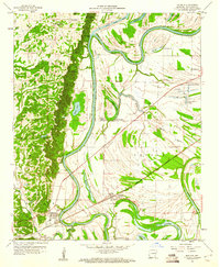
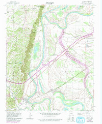
Editions of this 1960 Madison Map
3 editions found
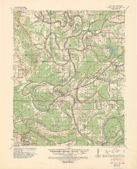
Other maps of this area
1939 · Park Place
USGS Topo · 1:62,500
1939 · Wynne
USGS Topo · 1:62,500
1940 · Whitmore
USGS Topo · 1:62,500
1940 · Marianna
USGS Topo · 1:62,500

1948 · Helena
USGS Topo · 1:250,000

1950 · Helena
USGS Topo · 1:250,000

1953 · Memphis
USGS Topo · 1:250,000
1955 · Park Place
USGS Topo · 1:62,500

1955 · Helena
USGS Topo · 1:250,000

1956 · Memphis
USGS Topo · 1:250,000