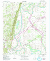
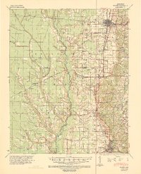
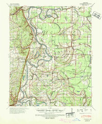
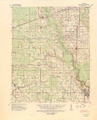
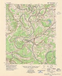
1960 Map of Madison
USGS Topo · Published 1993About this map
Crowleys Ridge dominates the western landscape of this Arkansas survey, creating a sharp topographic contrast with the river bottomlands to the east. The St Francis River meanders through a dense network of oxbow lakes and bayous, including Horseshoe Lake and Beaty Lake, illustrating the dynamic nature of the delta's hydrology. The small river town of Madison and the settlement of Widener serve as local hubs along the Chicago Rock Island and Pacific railroad line, which cuts a straight path across the alluvial plain.
Find a feature on this map
36 named features on this map. Tap any name to fly to it.
Don’t see what you’re looking for? This feature index may not catch every label — zoom into the map to look around manually.
Map Details
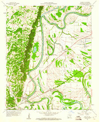
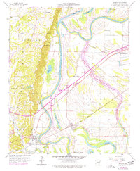
Editions of this 1960 Madison Map
3 editions found
Other maps of this area
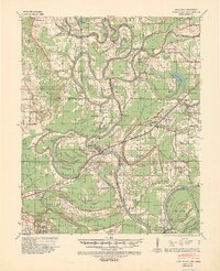
1939 · Park Place
USGS Topo · 1:62,500
1939 · Wynne
USGS Topo · 1:62,500
1940 · Whitmore
USGS Topo · 1:62,500
1940 · Marianna
USGS Topo · 1:62,500

1948 · Helena
USGS Topo · 1:250,000

1950 · Helena
USGS Topo · 1:250,000

1953 · Memphis
USGS Topo · 1:250,000
1955 · Park Place
USGS Topo · 1:62,500

1955 · Helena
USGS Topo · 1:250,000

1956 · Memphis
USGS Topo · 1:250,000