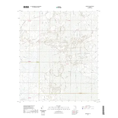
2021 Map of Madison SW
USGS Topo · Published 2021About this map
San Pedro Bay dominates this portion of the Florida landscape, characterized by a complex network of wetlands and seasonal drainages. The terrain is marked by a grid of rural tracks and logging roads that navigate the saturated soils of the Big Bend interior. The boundary of Madison Co Taylor Co bisects the region, where land use is defined by forestry and sparse rural connectivity. Small landmarks like Hike Lake Rd and Sw Hike Lake Rd hint at localized water features within the larger swamp system. The road network, including Co Rd 360 and the southern Camp Jackson Rd, suggests a landscape primarily dedicated to resource management rather than dense settlement, reflecting the enduring wilderness character of the northern Florida lowlands.
Find a feature on this map
76 named features on this map. Tap any name to fly to it.
Don’t see what you’re looking for? This feature index may not catch every label — zoom into the map to look around manually.
Map Details
Editions of this 2021 Madison SW Map
This is the sole edition of this map. No revisions or reprints were ever made.
Other maps of this area

1954 · Day
USGS Topo · 1:24,000

1954 · Boyd
USGS Topo · 1:24,000

1954 · Day NW
USGS Topo · 1:24,000

1954 · Greenville NE
USGS Topo · 1:24,000

1954 · Valdosta
USGS Topo · 1:250,000

1955 · Greenville SE
USGS Topo · 1:24,000

1958 · Valdosta
USGS Topo · 1:250,000

1958 · Madison SW
USGS Topo · 1:24,000

1958 · Madison SE
USGS Topo · 1:24,000

1958 · Lee
USGS Topo · 1:24,000