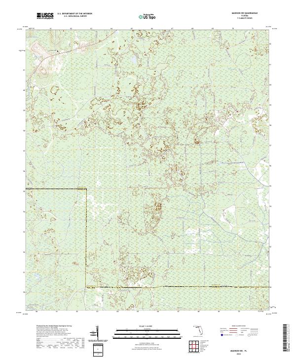
2024 Map of Madison SW
USGS Topo · Published 2024About this map
Sampala Swamp dominates the northern reaches of this landscape, marking a transition into the dense wetlands of northern Florida. This region is characterized by a high density of rural roads and trackways crossing the border between Madison and Taylor counties. The network of forest roads and land divisions reflects a long-standing timber and agricultural economy, where the terrain is defined by natural hydrology and the systematic parceling of the Public Land Survey System. While the area is largely uninhabited by major towns, the presence of these transit lines through the marshy interior suggests a landscape shaped by resource management and rural property boundaries.
Find a feature on this map
1 named feature on this map. Tap any name to fly to it.
Don’t see what you’re looking for? This feature index may not catch every label — zoom into the map to look around manually.
Map Details
Editions of this 2024 Madison SW Map
This is the sole edition of this map. No revisions or reprints were ever made.
Other maps of this area

1954 · Day
USGS Topo · 1:24,000

1954 · Boyd
USGS Topo · 1:24,000

1954 · Day NW
USGS Topo · 1:24,000

1954 · Greenville NE
USGS Topo · 1:24,000

1954 · Valdosta
USGS Topo · 1:250,000

1955 · Greenville SE
USGS Topo · 1:24,000

1958 · Valdosta
USGS Topo · 1:250,000

1958 · Madison SW
USGS Topo · 1:24,000

1958 · Madison SE
USGS Topo · 1:24,000

1958 · Lee
USGS Topo · 1:24,000