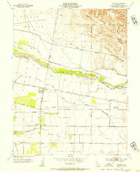
1953 Map of Madison
USGS Topo · Published 1954About this map
Agricultural development and water management define the Yolo County landscape in the early 1950s. The Southern Pacific railroad corridor anchors the small settlement of Madison, which sits near the junction of several drainage systems including Cottonwood Slough and South Fork Willow Slough. The northern portion of the map is dominated by the elevations of the Dunnigan Hills and Hungry Hollow, while the central valley floor is intricately carved by Cache Creek. Local life is recorded through rural landmarks such as the Cottonwood Cemetery, Clover Sch, and Mt Pleasant District School. This era shows a transition in local infrastructure, with Weggers Airport and a golf course appearing alongside established agricultural grant boundaries. The extensive network of canals, like the West Alder Canal, and the presence of Moore Dam illustrate the intensive irrigation required for the region's productive farms.
Find a feature on this map
23 named features on this map. Tap any name to fly to it.
Don’t see what you’re looking for? This feature index may not catch every label — zoom into the map to look around manually.
Map Details
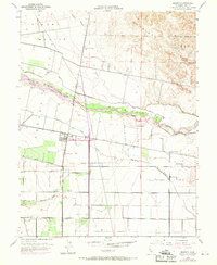
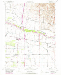
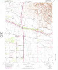
Editions of this 1953 Madison Map
4 editions found
Other maps of this area

1905 · Esparto
USGS Topo · 1:24,000

1907 · Dunnigan
USGS Topo · 1:62,500

1907 · Woodland
USGS Topo · 1:62,500

1915 · Yolo
USGS Topo · 1:31,680

1915 · Ronda
USGS Topo · 1:31,680

1915 · Merritt
USGS Topo · 1:31,680

1916 · Jacobs Corner
USGS Topo · 1:31,680

1916 · Zamora
USGS Topo · 1:31,680

1916 · Winters
USGS Topo · 1:31,680

1916 · Esparto
USGS Topo · 1:31,680