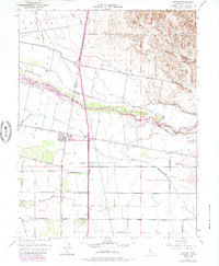
1953 Map of Madison
USGS Topo · Published 1985About this map
Madison serves as a central hub on this Yolo County landscape, situated at the base of the Dunnigan Hills and the eastern edge of Capay Valley. The map reveals an intricate network of water management essential to the region's agricultural character, featuring the Winters Canal, West Adams Canal, and Alder Canal distributing water from Cache Creek. Notable land use patterns include significant Gravel Pits along the creek and the path of an Old Railroad Grade passing through the town site. Local history is anchored by rural institutions such as Clover Sch, Mt Pleasant District School, and the Cottonwood Cemetery located south of the main settlement. Further south, the map identifies the small community of Citrona, while the Woodland-Watts Airport and Jacobs Corner mark the transition toward the flatter terrain of the Sacramento Valley.
Find a feature on this map
25 named features on this map. Tap any name to fly to it.
Don’t see what you’re looking for? This feature index may not catch every label — zoom into the map to look around manually.
Map Details
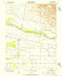
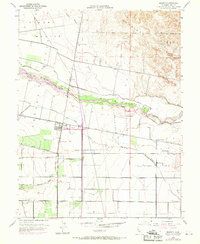
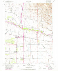
Editions of this 1953 Madison Map
4 editions found
Other maps of this area

1905 · Esparto
USGS Topo · 1:24,000

1907 · Dunnigan
USGS Topo · 1:62,500

1907 · Woodland
USGS Topo · 1:62,500

1915 · Yolo
USGS Topo · 1:31,680

1915 · Ronda
USGS Topo · 1:31,680

1915 · Merritt
USGS Topo · 1:31,680

1916 · Jacobs Corner
USGS Topo · 1:31,680

1916 · Zamora
USGS Topo · 1:31,680

1916 · Winters
USGS Topo · 1:31,680

1916 · Esparto
USGS Topo · 1:31,680