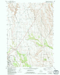
1985 Map of Madras East
USGS Topo · Published 1994About this map
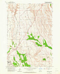
The Agency Plains dominate the western plateau of this Jefferson County landscape, characterized by a grid of agricultural lanes named for timber species like Gumwood Lane, Hickory Lane, and Cherry Lane. The survey illustrates the transition from these irrigated plains into the complex topography of the Crooked River National Grassland to the east. The city of Madras is situated in the southwestern corner, showing the layout of its residential streets, the High Sch, and Buff Sch near the edge of the plateau.
Find a feature on this map
36 named features on this map. Tap any name to fly to it.
Don’t see what you’re looking for? This feature index may not catch every label — zoom into the map to look around manually.
Map Details
Editions of this 1985 Madras East Map
2 editions found
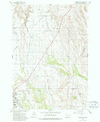
Other maps of this area

1928 · Madras
USGS Topo · 1:125,000

1931 · Madras
USGS Topo · 1:125,000

1955 · Bend
USGS Topo · 1:250,000

1957 · Bend
USGS Topo · 1:250,000

1958 · Bend
USGS Topo · 1:250,000

1962 · Eagle Butte
USGS Topo · 1:24,000

1962 · Gateway
USGS Topo · 1:24,000
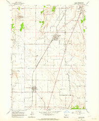
1963 · Culver
USGS Topo · 1:24,000
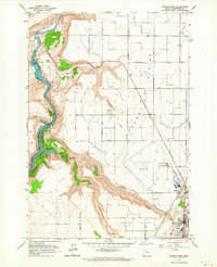
1963 · Madras West
USGS Topo · 1:24,000
1963 · Madras East
USGS Topo · 1:24,000