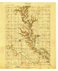
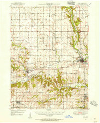
1914 Map of Madrid
USGS Topo · Published 1914About this map
The Des Moines River carves a deep valley through the heart of central Iowa, creating a striking topographical contrast with the surrounding prairie townships. This 1914 edition reveals the early 20th-century landscape of Boone, Dallas, and Polk counties, where the Chicago Milwaukee and St Paul Railway and the Inter-Urban Line intersect to connect bustling rural hubs. The rail network was the lifeblood of the region, supporting agricultural centers like Madrid, Woodward, and Luther.
Find a feature on this map
84 named features on this map. Tap any name to fly to it.
Don’t see what you’re looking for? This feature index may not catch every label — zoom into the map to look around manually.
Map Details
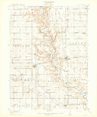
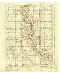
Editions of this 1914 Madrid Map
3 editions found
Other maps of this area
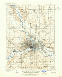
1905 · Des Moines
USGS Topo · 1:62,500
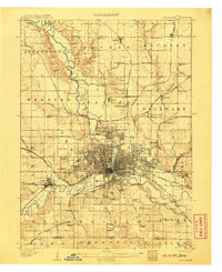
1907 · Des Moines
USGS Topo · 1:62,500
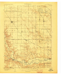
1908 · Waukee
USGS Topo · 1:62,500
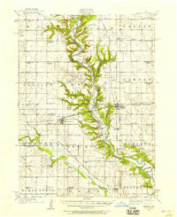
1911 · Madrid
USGS Topo · 1:62,500
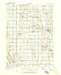
1911 · Slater
USGS Topo · 1:62,500
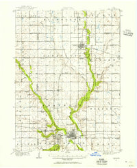
1912 · Ames
USGS Topo · 1:62,500
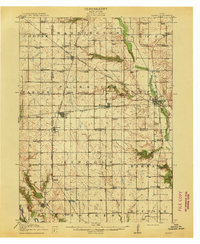
1913 · Slater
USGS Topo · 1:62,500
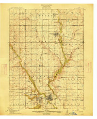
1914 · Ames
USGS Topo · 1:62,500
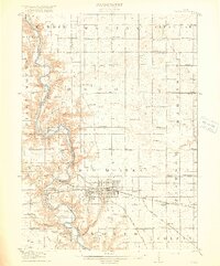
1916 · Boone
USGS Topo · 1:62,500
1949 · Adel
USGS Topo · 1:62,500