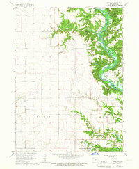
1965 Map of Madrid NW
USGS Topo · Published 1967About this map
Ledges State Park anchors the northeastern corner of this 1960s landscape, where the deeply carved sandstone cliffs meet the winding Des Moines River. This era captures the transition of the river valley during the development of the Saylorville Reservoir, showing the anticipated normal pool elevation 833. The map documents a blend of conservation and institutional land use, including the State Game Farm and the extensive grounds of the Woodward State Hospital to the south.
Find a feature on this map
35 named features on this map. Tap any name to fly to it.
Don’t see what you’re looking for? This feature index may not catch every label — zoom into the map to look around manually.
Map Details
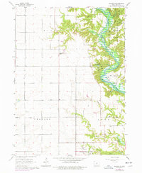
Editions of this 1965 Madrid NW Map
2 editions found
Other maps of this area

1911 · Madrid
USGS Topo · 1:62,500

1914 · Madrid
USGS Topo · 1:62,500

1916 · Boone
USGS Topo · 1:62,500

1950 · Perry
USGS Topo · 1:62,500

1951 · Perry
USGS Topo · 1:62,500

1951 · Ogden
USGS Topo · 1:62,500

1954 · Omaha
USGS Topo · 1:250,000

1954 · Waterloo
USGS Topo · 1:250,000

1954 · Fort Dodge
USGS Topo · 1:250,000

1954 · Des Moines
USGS Topo · 1:250,000