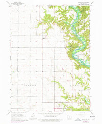
1965 Map of Madrid NW
USGS Topo · Published 1977About this map
Saylorville Lake and the Des Moines River dominate this 1960s Boone County landscape, documenting a period of significant hydrological and institutional development. The expansive Woodward State Hospital complex anchors the southern portion of the sheet, while the northeastern corner is defined by the recreation and conservation lands of Ledges State Park and the Worth State Game Farm.
Find a feature on this map
34 named features on this map. Tap any name to fly to it.
Don’t see what you’re looking for? This feature index may not catch every label — zoom into the map to look around manually.
Map Details
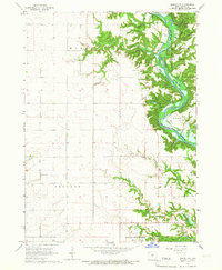
Editions of this 1965 Madrid NW Map
2 editions found
Other maps of this area

1911 · Madrid
USGS Topo · 1:62,500

1914 · Madrid
USGS Topo · 1:62,500

1916 · Boone
USGS Topo · 1:62,500

1950 · Perry
USGS Topo · 1:62,500

1951 · Perry
USGS Topo · 1:62,500

1951 · Ogden
USGS Topo · 1:62,500

1954 · Omaha
USGS Topo · 1:250,000

1954 · Waterloo
USGS Topo · 1:250,000

1954 · Fort Dodge
USGS Topo · 1:250,000

1954 · Des Moines
USGS Topo · 1:250,000