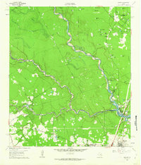
1961 Map of Maedan
USGS Topo · Published 1962About this map
The West Fork San Jacinto River meanders through this portion of the Texas Gulf Coastal Plain, marking the convergence of the Spring Creek and Cypress Creek watersheds. The landscape in the early 1960s was defined by a complex network of wetlands and ponds, including the descriptively named Little Alligator Pond, Mule Pen Pond, and Senna Bean Pond. The southern margin shows the initial expansion of Humble and the community of Bordersville near the Southern Pacific tracks, while the newly formed Lake Houston begins to dominate the southeastern corner. Evidence of earlier eras remains visible through the Old Railroad Grade and several family-named landmarks such as Enloe Cem and Tetter Cem. This survey was conducted just as suburban growth began to reach into the forested areas of Forest Shadows and Freeway Oaks.
Find a feature on this map
58 named features on this map. Tap any name to fly to it.
Don’t see what you’re looking for? This feature index may not catch every label — zoom into the map to look around manually.
Map Details
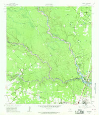
Editions of this 1961 Maedan Map
2 editions found
Other maps of this area

1916 · Aldine
USGS Topo · 1:24,000

1916 · Harmaston
USGS Topo · 1:24,000

1916 · Moonshine Hill
USGS Topo · 1:24,000

1916 · Humble
USGS Topo · 1:24,000

1916 · Spring
USGS Topo · 1:24,000

1919 · Aldine
USGS Topo · 1:31,680

1919 · Humble
USGS Topo · 1:31,680

1919 · Weeden
USGS Topo · 1:31,680

1920 · Spring
USGS Topo · 1:31,680

1920 · Harmaston
USGS Topo · 1:31,680