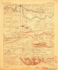
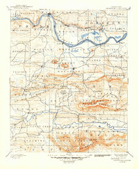
1890 Map of Magazine Mountain
USGS Topo · Published 1903About this map
Magazine Mountain and Petit Jean Mountain dominate this late-nineteenth-century landscape, which follows the wide bends of the Arkansas River. The economic life of the region centers on the Little Rock and Fort Smith Railroad, which serves riverfront towns like Ozark and Altus, as well as coal-mining hubs such as Coal Hill and Hartman. South of the river, the terrain shifts into a series of ridges and valleys where local commerce is anchored by the county seat of Paris and smaller post offices like Burnett Springs. Settlement patterns are closely tied to the water, with Petit Jean Creek and Six Mile Creek providing passage through the heights. Genealogists can trace early homesteading in communities like Sub Rosa, Roseville, and Golden City, established well before the modern development of the Arkansas River Valley.
Find a feature on this map
86 named features on this map. Tap any name to fly to it.
Don’t see what you’re looking for? This feature index may not catch every label — zoom into the map to look around manually.
Map Details
Editions of this 1890 Magazine Mountain Map
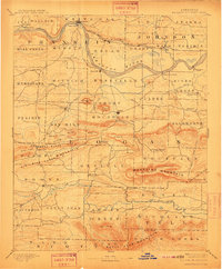
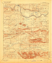
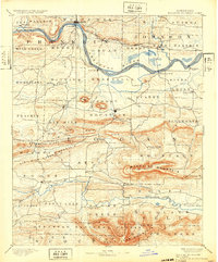
6 editions found

Other maps of this area

1879 · Poteau Mountain
USGS Topo · 1:62,500

1879 · Cravens
USGS Topo · 1:62,500

1879 · Mountain Home
USGS Topo · 1:62,500

1887 · Poteau Mountain #1
USGS Topo · 1:62,500

1887 · Magazine Mountain #1
USGS Topo · 1:62,500

1887 · Magazine Mountain #4
USGS Topo · 1:62,500

1887 · Mount Ida #2
USGS Topo · 1:62,500

1887 · Magazine Mountain #2
USGS Topo · 1:62,500

1887 · Magazine Mountain #3
USGS Topo · 1:62,500

1887 · Watalula
USGS Topo · 1:62,500