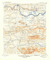
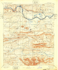
1890 Map of Magazine Mountain
USGS Topo · Published 1949About this map
Arkansas River navigation and the growing St. Louis and Fort Smith Railroad define the commerce of Logan and Franklin counties during this late 19th-century survey. The landscape is characterized by the prominent elevation of Magazine Mountain, which sits between the river valley and the Ouachita National Forest to the south. Early settlements like Paris, Ozark, and Booneville are established as local hubs, while smaller post offices such as Burnett Springs (Corley P.O.) and vanished-era river stops like Roseville and Patterson's Bluff provide essential grounding for genealogists. The map details a transition from river-based transport to rail, with coal-mining interests emerging near Coal Hill and Hartman. Prominent landforms including Petit Jean Mountain and Backbone Ridge frame the drainage basins of Petit Jean Creek and Six Mile Creek.
Find a feature on this map
87 named features on this map. Tap any name to fly to it.
Don’t see what you’re looking for? This feature index may not catch every label — zoom into the map to look around manually.
Map Details
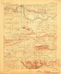
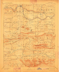
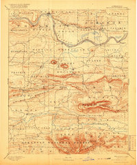
Editions of this 1890 Magazine Mountain Map
6 editions found

Other maps of this area

1879 · Poteau Mountain
USGS Topo · 1:62,500

1879 · Cravens
USGS Topo · 1:62,500

1879 · Mountain Home
USGS Topo · 1:62,500

1887 · Poteau Mountain #1
USGS Topo · 1:62,500

1887 · Magazine Mountain #1
USGS Topo · 1:62,500

1887 · Magazine Mountain #4
USGS Topo · 1:62,500

1887 · Mount Ida #2
USGS Topo · 1:62,500

1887 · Magazine Mountain #2
USGS Topo · 1:62,500

1887 · Magazine Mountain #3
USGS Topo · 1:62,500

1887 · Watalula
USGS Topo · 1:62,500