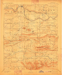
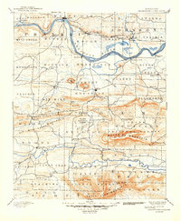
1890 Map of Magazine Mountain
USGS Topo · Published 1911About this map
Magazine Mountain anchors this late 19th-century survey of Logan and Franklin counties, rising sharply above the winding Arkansas River. The landscape reflects a transitional era between river commerce and the growing influence of the iron rail, with the Little Rock and Fort Smith Railroad connecting settlements like Coal Hill and Altus on the northern bank. Along the southern bank, Roseville and Patterson's Bluff signify the importance of river landings before the interior became more settled.
Find a feature on this map
86 named features on this map. Tap any name to fly to it.
Don’t see what you’re looking for? This feature index may not catch every label — zoom into the map to look around manually.
Map Details
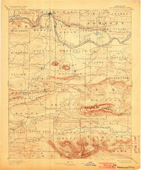
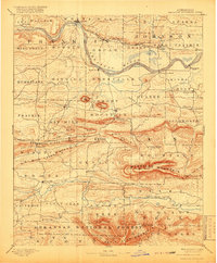
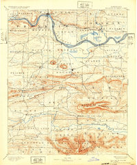
Editions of this 1890 Magazine Mountain Map
6 editions found

Other maps of this area

1879 · Poteau Mountain
USGS Topo · 1:62,500

1879 · Cravens
USGS Topo · 1:62,500

1879 · Mountain Home
USGS Topo · 1:62,500

1887 · Poteau Mountain #1
USGS Topo · 1:62,500

1887 · Magazine Mountain #1
USGS Topo · 1:62,500

1887 · Magazine Mountain #4
USGS Topo · 1:62,500

1887 · Mount Ida #2
USGS Topo · 1:62,500

1887 · Magazine Mountain #2
USGS Topo · 1:62,500

1887 · Magazine Mountain #3
USGS Topo · 1:62,500

1887 · Watalula
USGS Topo · 1:62,500