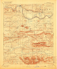
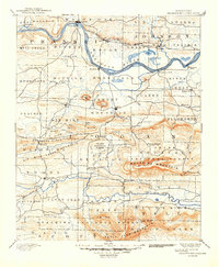
1890 Map of Magazine Mountain
USGS Topo · Published 1918About this map
The Arkansas River serves as the dominant artery of commerce and geography on this sheet, flanked by the Little Rock and Fort Smith Railroad along its northern banks. The landscape transitions from the fertile river bottoms near Roseville and Morrison's Bluff to the formidable heights of Magazine Mountain. In the late 19th century, this region was defined by a network of mining and agricultural hubs, including the coal-producing town of Coal Hill and the county seat at Paris.
Find a feature on this map
91 named features on this map. Tap any name to fly to it.
Don’t see what you’re looking for? This feature index may not catch every label — zoom into the map to look around manually.
Map Details
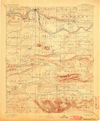
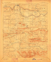
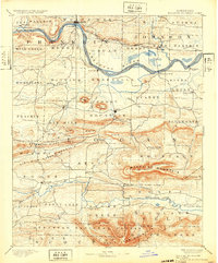
Editions of this 1890 Magazine Mountain Map
6 editions found

Other maps of this area

1879 · Poteau Mountain
USGS Topo · 1:62,500

1879 · Cravens
USGS Topo · 1:62,500

1879 · Mountain Home
USGS Topo · 1:62,500

1887 · Poteau Mountain #1
USGS Topo · 1:62,500

1887 · Magazine Mountain #1
USGS Topo · 1:62,500

1887 · Magazine Mountain #4
USGS Topo · 1:62,500

1887 · Mount Ida #2
USGS Topo · 1:62,500

1887 · Magazine Mountain #2
USGS Topo · 1:62,500

1887 · Magazine Mountain #3
USGS Topo · 1:62,500

1887 · Watalula
USGS Topo · 1:62,500