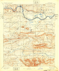
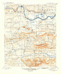
1890 Map of Magazine Mountain
USGS Topo · Published 1932About this map
Arkansas River navigation and the Little Rock and Fort Smith Railroad define the transportation corridors of this Logan County region in the late 19th century. Along the northern bank, the rail line connects settlements like Altus, Coal Hill, and Hartman, while the southern bank features established river landings at Patterson's Bluff and Morrison's Bluff. To the south, the terrain rises sharply toward Magazine Mountain, the highest point in the state, and the southern reaches of the Arkansas National Forest.
Find a feature on this map
93 named features on this map. Tap any name to fly to it.
Don’t see what you’re looking for? This feature index may not catch every label — zoom into the map to look around manually.
Map Details
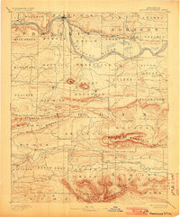
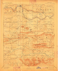
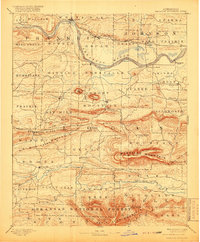
Editions of this 1890 Magazine Mountain Map
6 editions found

Other maps of this area

1879 · Poteau Mountain
USGS Topo · 1:62,500

1879 · Cravens
USGS Topo · 1:62,500

1879 · Mountain Home
USGS Topo · 1:62,500

1887 · Poteau Mountain #1
USGS Topo · 1:62,500

1887 · Magazine Mountain #1
USGS Topo · 1:62,500

1887 · Magazine Mountain #4
USGS Topo · 1:62,500

1887 · Mount Ida #2
USGS Topo · 1:62,500

1887 · Magazine Mountain #2
USGS Topo · 1:62,500

1887 · Magazine Mountain #3
USGS Topo · 1:62,500

1887 · Watalula
USGS Topo · 1:62,500