
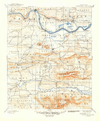
1890 Map of Magazine Mountain
USGS Topo · Published 1890About this map
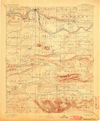
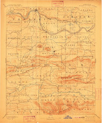
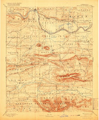
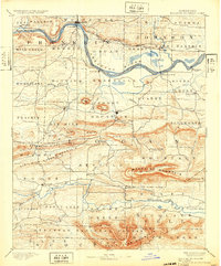
Arkansas River commerce and the expansion of the Little Rock and Fort Smith Railroad define the northern corridor of this territory during the late nineteenth century. Established river towns like Roseville and Webb City sit alongside emerging rail centers such as Coal Hill and Hartman, reflecting an era of transition from water to rail transport. Further south, the county seat of Paris serves as a hub near the base of Short Mt, while the rugged peaks of Magazine Mountain and Washburn Mountain dominate the central landscape. Local life is documented through scattered settlements and post offices, including Burnett Springs (Corley P.O.), Chismville, and Sub Rosa. The map detail captures a complex drainage system, from Six Mile Creek to Petit Jean Creek, supporting early agricultural and mining communities throughout the Arkansas River Valley.
Find a feature on this map
90 named features on this map. Tap any name to fly to it.
Don’t see what you’re looking for? This feature index may not catch every label — zoom into the map to look around manually.
Map Details
Editions of this 1890 Magazine Mountain Map
6 editions found
Other maps of this area

1879 · Poteau Mountain
USGS Topo · 1:62,500

1879 · Cravens
USGS Topo · 1:62,500

1879 · Mountain Home
USGS Topo · 1:62,500

1887 · Poteau Mountain #1
USGS Topo · 1:62,500

1887 · Magazine Mountain #1
USGS Topo · 1:62,500

1887 · Magazine Mountain #4
USGS Topo · 1:62,500

1887 · Mount Ida #2
USGS Topo · 1:62,500

1887 · Magazine Mountain #2
USGS Topo · 1:62,500

1887 · Magazine Mountain #3
USGS Topo · 1:62,500

1887 · Watalula
USGS Topo · 1:62,500