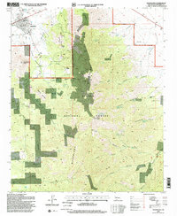
1995 Map of Magdalena
USGS Topo · Published 1998About this map
Magdalena serves as the gateway to the high-elevation terrain of the Magdalena Mountains in this mid-1990s survey. The map details a landscape shaped by both natural relief and human industry, most notably at the settlement of Kelly, where the Kelly Cem and numerous Mines and Prospects indicate the area's mining heritage. The topography is dominated by significant summits such as Magdalena Peak, North Baldy, and Baxter Peak, which rise above a network of deep drainages including Hop Canyon, Patterson Canyon, and Copper Canyon. Within the Cibola National Forest, the distribution of water sources like Agua Fria Spring and Hall Canyon Spring reflects the critical importance of water management in this arid environment. The map also records specialized land use near the town center, such as the Rodeo Grounds and a Landing Strip.
Find a feature on this map
50 named features on this map. Tap any name to fly to it.
Don’t see what you’re looking for? This feature index may not catch every label — zoom into the map to look around manually.
Map Details
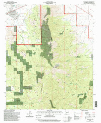
Editions of this 1995 Magdalena Map
2 editions found
Other maps of this area

1954 · Tularosa
USGS Topo · 1:250,000

1954 · Socorro
USGS Topo · 1:250,000

1958 · Socorro
USGS Topo · 1:250,000

1958 · Tularosa
USGS Topo · 1:250,000

1959 · Magdalena
USGS Topo · 1:62,500

1962 · Socorro
USGS Topo · 1:250,000

1963 · Arroyo Landavaso
USGS Topo · 1:24,000

1964 · Silver Hill
USGS Topo · 1:24,000
1965 · Squaw Peak
USGS Topo · 1:24,000
1965 · South Baldy
USGS Topo · 1:24,000