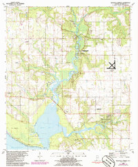
1980 Map of Magnolia Springs
USGS Topo · Published 1986About this map
The confluence of the Fish River and Magnolia River as they enter Weeks Bay defines this coastal Alabama landscape in the late 1970s and early 1980s. The community of Magnolia Springs sits at the eastern end of the bay, showing a dense network of local roads and waterfront properties near Eslava Creek. To the north, the river system is dotted with small settlements like Clay City, where active claypits indicate the area's industrial ties to the land, and Marlow, which features a riverside Landing Strip and the Marlow Ch.
Find a feature on this map
37 named features on this map. Tap any name to fly to it.
Don’t see what you’re looking for? This feature index may not catch every label — zoom into the map to look around manually.
Map Details
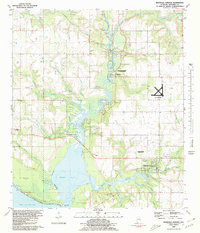
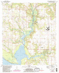
Editions of this 1980 Magnolia Springs Map
3 editions found
Other maps of this area

1920 · Robertsdale
USGS Topo · 1:62,500

1921 · Bon Secour
USGS Topo · 1:62,500

1921 · Point Clear
USGS Topo · 1:62,500

1921 · Fairhope
USGS Topo · 1:62,500

1939 · Daphne
USGS Topo · 1:31,680

1940 · Silverhill
USGS Topo · 1:31,680

1941 · Daphne
USGS Topo · 1:31,680

1941 · Silverhill
USGS Topo · 1:31,680

1941 · Robertsdale
USGS Topo · 1:62,500

1941 · Foley
USGS Topo · 1:62,500