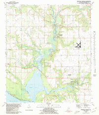
1980 Map of Magnolia Springs
USGS Topo · Published 1980About this map
The Magnolia River and Fish River converge toward the brackish waters of Weeks Bay in this 1980 survey of coastal Baldwin County. The namesake village of Magnolia Springs sits along the river's winding banks, characterized by a mix of residential development and small landing strips that highlight the area's transition toward recreation and light aviation. To the north, Clay City reflects a more industrial past with its Claypit, while the O.L.F. Magnolia U S Naval Res occupies a significant tract of land to the east. This map captures the landscape before modern suburban expansion fully altered the rural character of communities like Marlow and Barnwell. Local historians and genealogists will find several rural landmarks of interest, including the Brook Cedron Cem, the South River Park Cem, and numerous country churches such as Vernant Park Ch and Mt Gilead Ch.
Find a feature on this map
38 named features on this map. Tap any name to fly to it.
Don’t see what you’re looking for? This feature index may not catch every label — zoom into the map to look around manually.
Map Details
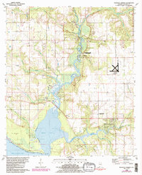
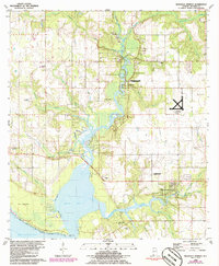
Editions of this 1980 Magnolia Springs Map
3 editions found
Other maps of this area

1920 · Robertsdale
USGS Topo · 1:62,500

1921 · Bon Secour
USGS Topo · 1:62,500

1921 · Point Clear
USGS Topo · 1:62,500

1921 · Fairhope
USGS Topo · 1:62,500

1939 · Daphne
USGS Topo · 1:31,680

1940 · Silverhill
USGS Topo · 1:31,680

1941 · Daphne
USGS Topo · 1:31,680

1941 · Silverhill
USGS Topo · 1:31,680

1941 · Robertsdale
USGS Topo · 1:62,500

1941 · Foley
USGS Topo · 1:62,500