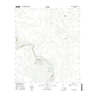
2016 Map of Magnolia Springs
USGS Topo · Published 2016About this map
Big Thicket National Preserve occupies the central and southern portions of this landscape, protecting the winding course of the Neches River as it forms the natural boundary between Tyler and Jasper counties. The river's path is characterized by tight oxbow loops and extensive wetlands, reflecting the low-lying, riparian ecology of East Texas. To the north, the small settlement of Magnolia Springs sits near Magnolia Springs Lake, connected to the surrounding countryside by a network of county roads like FM 1005 and FM 1013.
Find a feature on this map
42 named features on this map. Tap any name to fly to it.
Don’t see what you’re looking for? This feature index may not catch every label — zoom into the map to look around manually.
Map Details
Editions of this 2016 Magnolia Springs Map
This is the sole edition of this map. No revisions or reprints were ever made.
Other maps of this area

1952 · Lake Charles
USGS Topo · 1:250,000

1954 · Lake Charles
USGS Topo · 1:250,000

1954 · Beaumont
USGS Topo · 1:250,000

1955 · Roganville
USGS Topo · 1:62,500

1955 · Curtis
USGS Topo · 1:62,500

1957 · Beaumont
USGS Topo · 1:250,000

1958 · Spurger
USGS Topo · 1:62,500

1958 · Kirbyville
USGS Topo · 1:62,500

1984 · Beaumont
USGS Topo · 1:250,000

1984 · Potato Patch Lake
USGS Topo · 1:24,000