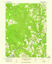
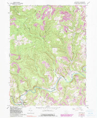
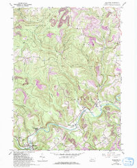
1959 Map of Mahaffey
USGS Topo · Published 1960About this map
The West Branch Susquehanna River carves through the central Clearfield County landscape, anchoring a series of small settlements and industrial sites. In the late 1950s, the New York Central railroad followed the river's path, serving communities like Mahaffey, Bower, and Bells Landing. The map reveals a region defined by extraction and recreation, where Strip Mines neighbor the extensive State Game Lands No 87. Genealogists will find several burial sites and centers of community life, including the St Bonaventure Cem, Banner Ridge Ch, and the Camp Meeting Grounds near the river. Smaller hamlets like Irishtown and Walltown are situated among the numerous runs, such as Curry Run and Bell Run, reflecting the dispersed nature of settlement in this part of the Appalachian Plateaus.
Find a feature on this map
44 named features on this map. Tap any name to fly to it.
Don’t see what you’re looking for? This feature index may not catch every label — zoom into the map to look around manually.
Map Details
Editions of this 1959 Mahaffey Map
6 editions found
Other maps of this area

1903 · Curwensville
USGS Topo · 1:62,500

1906 · Punxsutawney
USGS Topo · 1:62,500

1922 · Du Bois
USGS Topo · 1:62,500

1924 · Du Bois
USGS Topo · 1:62,500

1929 · Penfield
USGS Topo · 1:62,500

1932 · Penfield
USGS Topo · 1:62,500

1939 · Curwensville
USGS Topo · 1:62,500

1939 · Punxsutawney
USGS Topo · 1:62,500

1942 · Curwensville
USGS Topo · 1:62,500

1942 · Punxsutawney
USGS Topo · 1:62,500
Featured Places
- Bloom Township, PA
- Irishtown, Penn Township
- Greenwood Township, PA
- Bells Landing, Greenwood Township
- Walltown, Penn Township