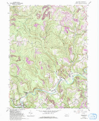
1959 Map of Mahaffey
USGS Topo · Published 1994About this map
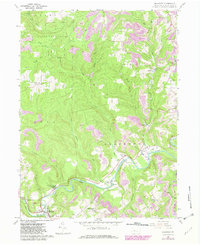
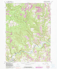
The West Branch Susquehanna River carves a winding path through this Clearfield County landscape, serving as the primary geographic anchor for small riverside communities like Bells Landing, Bower, and the borough of Mahaffey. By the mid-20th century, the terrain above the river valley shows the distinct marks of the region's extractive economy, characterized by numerous Strip Mine and Strip Mines operations that contrast with the protected forests of State Game Lands No 87. Genealogists and local historians can locate several community pillars, including Banner Ridge Ch, St Bonaventure Cem, and the Goffee Sch. The presence of the Camp Meeting Grounds near the river indicates the area's history as a regional gathering place, while the B & S railroad tracks following the river's contours highlight the critical link between industrial extraction and transportation infrastructure.
Find a feature on this map
39 named features on this map. Tap any name to fly to it.
Don’t see what you’re looking for? This feature index may not catch every label — zoom into the map to look around manually.
Map Details
Editions of this 1959 Mahaffey Map
6 editions found
Other maps of this area

1903 · Curwensville
USGS Topo · 1:62,500

1906 · Punxsutawney
USGS Topo · 1:62,500

1922 · Du Bois
USGS Topo · 1:62,500

1924 · Du Bois
USGS Topo · 1:62,500

1929 · Penfield
USGS Topo · 1:62,500

1932 · Penfield
USGS Topo · 1:62,500

1939 · Curwensville
USGS Topo · 1:62,500

1939 · Punxsutawney
USGS Topo · 1:62,500

1942 · Curwensville
USGS Topo · 1:62,500

1942 · Punxsutawney
USGS Topo · 1:62,500
Featured Places
- Bloom Township, PA
- Irishtown, Penn Township
- Greenwood Township, PA
- Bells Landing, Greenwood Township
- Walltown, Penn Township