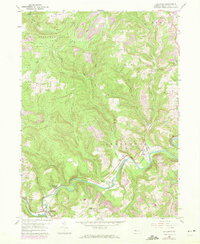
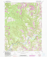
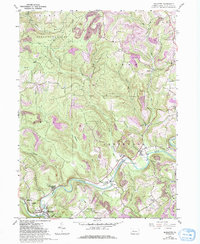
1959 Map of Mahaffey
USGS Topo · Published 1972About this map
The West Branch Susquehanna River carves a winding path through this Clearfield County landscape, anchoring a series of small riverside communities and industrial sites. In the mid-twentieth century, the Penn Central railroad parallels the river's south bank, serving the borough of Mahaffey and passing through Middleton, Bower, and Bells Landing. This period shows a complex land use pattern where extensive Strip Mines and several smaller mines operate adjacent to the northern boundaries of State Game Lands No 87. Social and religious centers are scattered across the hills, including the Camp Meeting Ground near the river and the Banner Ridge Ch to the south. Local history is further preserved through numerous burial sites like St Bonaventure Cem and Rock Springs Cem, alongside the Goffe Sch, illustrating the dispersed rural settlement pattern of the era.
Find a feature on this map
41 named features on this map. Tap any name to fly to it.
Don’t see what you’re looking for? This feature index may not catch every label — zoom into the map to look around manually.
Map Details
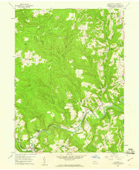
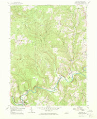
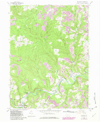
Editions of this 1959 Mahaffey Map
6 editions found
Other maps of this area

1903 · Curwensville
USGS Topo · 1:62,500

1906 · Punxsutawney
USGS Topo · 1:62,500

1922 · Du Bois
USGS Topo · 1:62,500

1924 · Du Bois
USGS Topo · 1:62,500

1929 · Penfield
USGS Topo · 1:62,500

1932 · Penfield
USGS Topo · 1:62,500

1939 · Curwensville
USGS Topo · 1:62,500

1939 · Punxsutawney
USGS Topo · 1:62,500

1942 · Curwensville
USGS Topo · 1:62,500

1942 · Punxsutawney
USGS Topo · 1:62,500
Featured Places
- Bloom Township, PA
- Irishtown, Penn Township
- Greenwood Township, PA
- Bells Landing, Greenwood Township
- Walltown, Penn Township