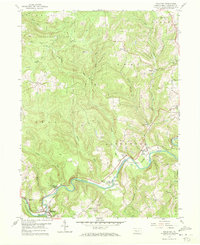
1959 Map of Mahaffey
USGS Topo · Published 1970About this map
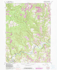
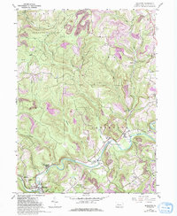
The West Branch Susquehanna River carves a deep path through this section of Clearfield County, defining the local topography and the placement of its early settlements. Near the borough of Mahaffey, the landscape reflects a mix of spiritual and social hubs, such as the Camp Meeting Grounds and Banner Ridge Ch, alongside the heavy industrial footprint of numerous Strip Mines. The river valley serves as a primary corridor for transportation, carrying the tracks of the Pennsylvania railroad and the Central New York line through hamlets like Bower and Bells Landing.
Find a feature on this map
43 named features on this map. Tap any name to fly to it.
Don’t see what you’re looking for? This feature index may not catch every label — zoom into the map to look around manually.
Map Details
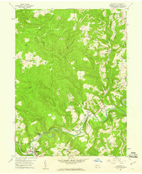
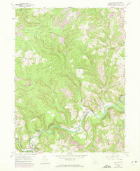
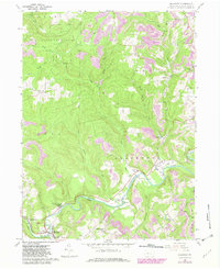
Editions of this 1959 Mahaffey Map
6 editions found
Other maps of this area

1903 · Curwensville
USGS Topo · 1:62,500

1906 · Punxsutawney
USGS Topo · 1:62,500

1922 · Du Bois
USGS Topo · 1:62,500

1924 · Du Bois
USGS Topo · 1:62,500

1929 · Penfield
USGS Topo · 1:62,500

1932 · Penfield
USGS Topo · 1:62,500

1939 · Curwensville
USGS Topo · 1:62,500

1939 · Punxsutawney
USGS Topo · 1:62,500

1942 · Curwensville
USGS Topo · 1:62,500

1942 · Punxsutawney
USGS Topo · 1:62,500
Featured Places
- Bloom Township, PA
- Irishtown, Penn Township
- Greenwood Township, PA
- Bells Landing, Greenwood Township
- Walltown, Penn Township