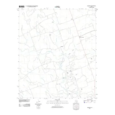
2010 Map of Mahomet
USGS Topo · Published 2010About this map
The North Fork San Gabriel River carves a winding path through this central Texas landscape, where the legacy of early settlements like Mahomet and Greens Crossing remains visible in the distribution of family cemeteries and rural road networks. Historically significant for genealogists, the area is home to the Fairview Cemetery, Mount Horeb Cemetery, and the Gabriel Mills Cemetery, marking the resting places of generations of local families near the river's edge.
Find a feature on this map
54 named features on this map. Tap any name to fly to it.
Don’t see what you’re looking for? This feature index may not catch every label — zoom into the map to look around manually.
Map Details
Editions of this 2010 Mahomet Map
This is the sole edition of this map. No revisions or reprints were ever made.
Other maps of this area

1887 · Burnet
USGS Topo · 1:125,000

1893 · Georgetown
USGS Topo · 1:125,000

1893 · Burnet
USGS Topo · 1:125,000

1903 · Burnet
USGS Topo · 1:125,000

1909 · Burnet
USGS Topo · 1:125,000

1932 · Bertram
USGS Topo · 1:62,500

1954 · Llano
USGS Topo · 1:250,000

1954 · Austin
USGS Topo · 1:250,000

1955 · Llano
USGS Topo · 1:250,000

1956 · Llano
USGS Topo · 1:250,000