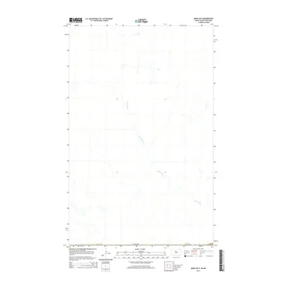
2014 Map of Maida OE N
USGS Topo · Published 2014About this map
The Pembina River winds extensively through this section of the northern plains, creating a distinct hydrological pattern across the landscape. This 2014 U.S. Geological Survey map captures the quiet transition at the international boundary, where the northernmost reaches of the state meet Canada. The geography is defined by the river’s meandering course and the sparse, open terrain characteristic of this borderland region. While primarily a document of natural drainage and international demarcation, the map serves as a precise record of the remote frontier before further modern development or landscape shifts. The scarcity of named landmarks highlights the rural isolation of this area, emphasizing the river as the primary geographical anchor for the surrounding territory.
Find a feature on this map
2 named features on this map. Tap any name to fly to it.
Don’t see what you’re looking for? This feature index may not catch every label — zoom into the map to look around manually.
Map Details
Editions of this 2014 Maida OE N Map
This is the sole edition of this map. No revisions or reprints were ever made.
Other maps of this area

1953 · Devils Lake
USGS Topo · 1:250,000

1956 · Devils Lake
USGS Topo · 1:250,000

1967 · Maida
USGS Topo · 1:24,000

1969 · Olga NW
USGS Topo · 1:24,000

1970 · Mount Carmel
USGS Topo · 1:24,000

1985 · Langdon
USGS Topo · 1:100,000

2011 · Mount Carmel
USGS Topo · 1:24,000
2011 · Olga NW
USGS Topo · 1:24,000
2011 · Maida
USGS Topo · 1:24,000
2014 · Mount Carmel
USGS Topo · 1:24,000